
Monte Mixi district

Immagine per l'APP
Quartiere Monte Mixi
Categoria/Sottocategoria
macrocategoria
Descrizione

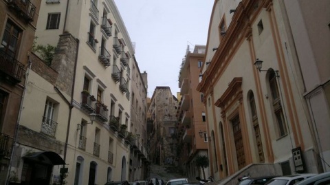
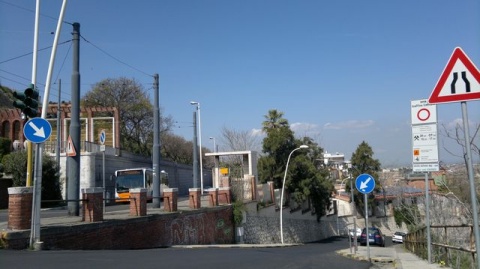
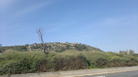
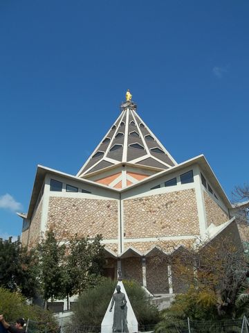
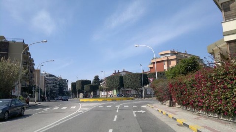
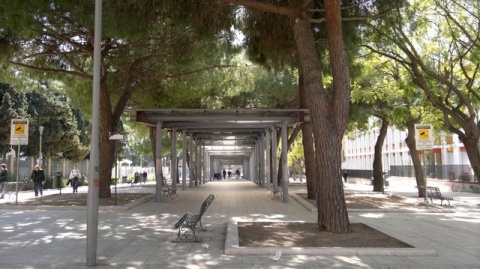
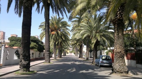
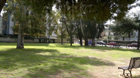
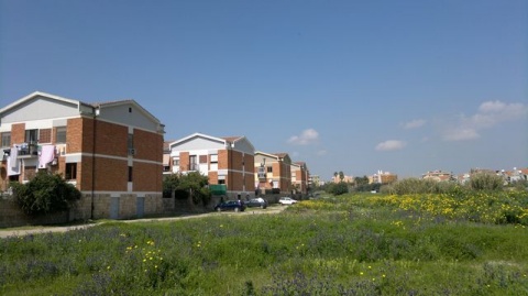
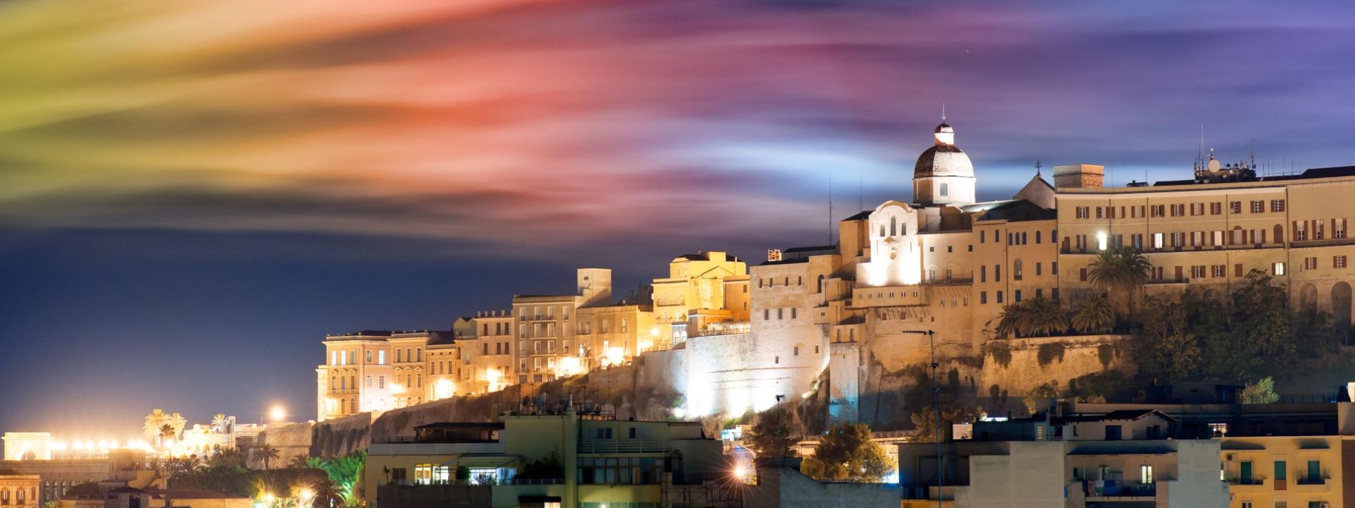
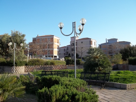
The small Monte Mixi district is located between Viale Diaz and the sports facilities of Rockefeller Street. It was built on a hill of modest size, called Monte Mixi. It borders the districts of Bonaria, Monte Urpinu, La Palma and Sant'Elia.

Indirizzo
Quartiere Monte Mixi
Poligono GEO

Quartiere Monte Mixi

Quartiere Monte Mixi

Quartiere Monte Mixi

Fascia età
Fuori Cagliari
No
Quartiere
usato per affollamento
No
da usare solo per eventi e percorsi
Off
Comune
Immagine per il Portale
Quartiere Monte Mixi

Add new review

Your review will be visible after approval by the editors

To post a review you must be an authenticated user.
Log in with Social Login

Marina district

Immagine per l'APP
Quartiere Marina
Categoria/Sottocategoria
macrocategoria
Descrizione

The Marina district is one of the four historic districts of Cagliari. Its boundaries are delimited to the north by the walls of Castello, to the south from Roma street, to the east from Regina Margherita Avenue and to the west from Largo Carlo Felice.

Its origins date back to the times of the Pisan domination; it arose as an area intended to house the warehouses and the dwellings of the workers of the port. 

The initial name was Lapola and the neighbourhood was equipped with a defensive system of walls and bastions, modernized by the Spaniards and demolished in the second half of the nineteenth century.


Indirizzo
Quartiere Marina
Poligono GEO

Quartiere Marina

Quartiere Marina

Quartiere Marina

Fascia età
Fuori Cagliari
No
Quartiere
usato per affollamento
No
da usare solo per eventi e percorsi
Off
peso
Comune
Immagine per il Portale
Quartiere Marina

Add new review

Your review will be visible after approval by the editors

To post a review you must be an authenticated user.
Log in with Social Login

La Vega district

Immagine per l'APP
Quartiere La Vega
Categoria/Sottocategoria
macrocategoria
Descrizione

La Vega is a residential district of Cagliari. Located in the northern area of the city, it was built around 1930 and in the upper part houses the public gardens and the walls of the Castle. The name "la vega" has Spanish origins and indicates the garden because in the past there was a vast countryside here. Today it is mainly frequented by students and there is the Student House and the church of Saint Francesco d'Assisi, built in the second half of the twentieth century.

Indirizzo
Quartiere La Vega
Poligono GEO

Quartiere La Vega

Quartiere La Vega

Quartiere La Vega

Fascia età
Fuori Cagliari
No
Quartiere
usato per affollamento
No
da usare solo per eventi e percorsi
Off
Comune
Immagine per il Portale
Quartiere La Vega

Add new review

Your review will be visible after approval by the editors

To post a review you must be an authenticated user.
Log in with Social Login

La Palma district

Immagine per l'APP
Quartiere La Palma
Categoria/Sottocategoria
macrocategoria
Descrizione

La Palma is a district of Cagliari that extends between the former salt flats of Molentargius and the Poetto beach. It is connected to the district of the Sun through via Favonio. It is a residential area, characterized by the presence of green spaces and public areas.

Indirizzo
Quartiere La Palma
Poligono GEO

Quartiere La Palma

Quartiere La Palma

Quartiere La Palma

Fascia età
Fuori Cagliari
No
Quartiere
usato per affollamento
No
da usare solo per eventi e percorsi
Off
Comune
Immagine per il Portale
Quartiere La Palma

Add new review

Your review will be visible after approval by the editors

To post a review you must be an authenticated user.
Log in with Social Login

Is Mirrionis district

Immagine per l'APP
Quartiere Is Mirrionis
Categoria/Sottocategoria
macrocategoria
Descrizione

The area corresponding to the Is Mirrionis district was already frequented since the Copper Age as evidenced by the materials found and ascribable to the culture of Monte Claro, dating back to the second half of the third millennium BC. Until the nineteenth century it was a rural area but after the Second World War, starting from the sixties, it began to be more populous. Today it is a very important district for the city of Cagliari because of the presence of numerous public structures: the faculty of Letters and Engineering, the hospital and the park of Monte Claro.

Indirizzo
Quartiere Is Mirrionis
Poligono GEO

Quartiere Is Mirrionis

Quartiere Is Mirrionis

Quartiere Is Mirrionis

Fascia età
Fuori Cagliari
No
Quartiere
usato per affollamento
No
da usare solo per eventi e percorsi
Off
Comune
Immagine per il Portale
Quartiere Is Mirrionis

Add new review

Your review will be visible after approval by the editors

To post a review you must be an authenticated user.
Log in with Social Login

Genneruxi district

Immagine per l'APP
Quartiere Genneruxi
Categoria/Sottocategoria
macrocategoria
Descrizione

Located at the foot of Monte Urpinu, the Genneruxi district arose in the early seventies. The derivation of the name has two historical hypotheses: in an ancient story it is said that there was a small wrought iron door with a cross (Genna 'e cruxi / Janua Crucis), the only remnant of an ancient cemetery or church, in the another seems that the name derives from the custom of the Benedictine monks to delimit the boundaries of the lands towards the Campidano with crosses. In any case, over the years the name has changed to the more fluid Genneruxi.

It is a high-rise residential district composed mostly of stately buildings, large villas and small villas, the largest villas with a large attached garden, are located mainly in the area adjacent to the Molentargius pond located between Marconi Avenue and the median axis.

Genneruxi is characterized by large green areas, wide tree-lined avenues and squares present especially along Stockholm street.

The parish in the area is the Santissimo Crocifisso, to which a very popular oratory is annexed.

Inside the neighbourhood there are several schools, a Cagliari light rail stop and various stops of the CTM bus nº 6.

An integral part of the Genneruxi district is the Saint Giuliano area:

Saint Giuliano (in Sardinian: Santu Lianu) is located under the eastern slopes of the hill of Monte Urpinu (on whose northern slopes stood the Benedictine monastery of Saint Giuliano and of which no trace remains) and ends on the banks of the canal that delimits the pond of Molentargius on this side.

Indirizzo
Quartiere Genneruxi
Poligono GEO

Quartiere Genneruxi

Quartiere Genneruxi

Quartiere Genneruxi

Fascia età
Fuori Cagliari
No
Quartiere
usato per affollamento
No
da usare solo per eventi e percorsi
Off
Comune
Immagine per il Portale
Quartiere Genneruxi

Add new review

Your review will be visible after approval by the editors

To post a review you must be an authenticated user.
Log in with Social Login

Fonsarda district

Immagine per l'APP
Quartiere Fonsarda
Categoria/Sottocategoria
macrocategoria
Descrizione

Fonsarda is a residential and commercial district of Cagliari, built in the second half of the twentieth century.

Until the twentieth century on the site of the neighbourhood there were agricultural fields, orchards and country villas.

In the 1940s, at the end of the Second World War, the municipal administration decided to build a group of public housing units at the end of Dante Street (which in the municipal projects of 1926 should have continued until Pirri), to solve - at least partially - the situation of those who had lost their homes during the bombing. In front of this first group of houses a large square was installed, later dedicated to Pope John XXIII, inside which, in 1956, the parish church of Saint Paul was built.

Subsequently, schools were built on one side of the square. In the 70s a second urbanization of the district began, mostly on the initiative of some entrepreneurs, which led to the construction of taller buildings than the previous ones. In this period, a neighbourhood committee was also set up to safeguard spaces not yet affected by buildings; the committee's actions include the mobilization against the construction of the headquarters of the Asst (State Telephone Service Company), which was supposed to house numerous antennas, in the space where the T-Hotel now stands, and the cementing of the area where there is now the Park of the Music, which until the seventies housed an olive grove. Today the district is characterized by palaces and, in part, by villas with gardens.

In the neighbourhoods there is an elementary school, the middle school "Gaetano Cima" and the scientific high school "Michelangelo".

At the borders there is the Opera House, connected to the hub of the district by the modern Park of Music.

On the edge of the La Vega district, however, there is the headquarters of the province of Cagliari.

Indirizzo
Quartiere Fonsarda
Poligono GEO

Quartiere Fonsarda

Quartiere Fonsarda

Quartiere Fonsarda

Fascia età
Fuori Cagliari
No
Quartiere
usato per affollamento
No
da usare solo per eventi e percorsi
Off
Comune
Immagine per il Portale
Quartiere Fonsarda

Add new review

Your review will be visible after approval by the editors

To post a review you must be an authenticated user.
Log in with Social Login

Europeo District

Immagine per l'APP
Quartiere Europeo
Categoria/Sottocategoria
macrocategoria
Descrizione

The European District is located on the border between the Genneruxi, Fonsarda, Giovanni XXIII Square, Cep and Marconi Avenue districts. Mainly Composed of large single and two-family single villas, it is a low-density neighbourhood with a high presence of public and private greenery.

In the area there is the convent of San Giuseppe, a former riding stable owned by the Mannatzu family, now used as a room for private ceremonies and the medieval church of Sant'Alenixedda, surrounded by a simple but elegant garden.

In the streets of the district there is a seat of the Cagliari Municipal Police, the Consulate of the Principality of Monaco and a seat of the Rotary Club.

There is a kindergarten and it is crossed by lines 1, 30 and 31 and by the Cagliari light rail.

It is one of the most popular neighbourhoods in real estate terms in the entire city of Cagliari.

Indirizzo
Quartiere Europeo
Poligono GEO

Quartiere Europeo

Quartiere Europeo

Quartiere Europeo

Fascia età
Fuori Cagliari
No
Quartiere
usato per affollamento
No
da usare solo per eventi e percorsi
Off
Comune
Immagine per il Portale
Quartiere Europeo

Add new review

Your review will be visible after approval by the editors

To post a review you must be an authenticated user.
Log in with Social Login

Del Sole District

Immagine per l'APP
Quartiere del Sole
Categoria/Sottocategoria
macrocategoria
Descrizione

The "Del Sole" district is a neighbourhood of Cagliari and it is used for simple residential usage especially with medium-level houses, 5-storey buildings (on average) and independent houses adjacent to the State Saltworks. It is adjacent to the La Palma district and is surrounded by the Poetto’s, San Bartolomeo’s, Medau su Cramu’s and Sant'Elia’s districts.

The buildings are modern and among the most important structures there are primary schools, the middle school "Colombo", two elementary schools, "Del Sole" and two kindergartens.

In the district there is the presence of an important attraction, the "City of Salt", where various events and theatrical performances are held, in the area of ​​the salt pans, which divides the Sun District from the Poetto.

The City of Salt is a real city museum and is directed, through the remains of buildings (such as the large chimney that fell in the seventies), towards the deepening of the salt extraction methods used in the modern era. Before becoming a residential neighbourhood, in fact, it was the workplace for the numerous people from Cagliari who went there to extract salt from the salt pans.

Indirizzo
Quartiere del Sole
Poligono GEO

Quartiere del Sole

Quartiere del Sole

Quartiere del Sole

Fascia età
Fuori Cagliari
No
Quartiere
usato per affollamento
No
da usare solo per eventi e percorsi
Off
Comune
Immagine per il Portale
Quartiere del Sole

Add new review

Your review will be visible after approval by the editors

To post a review you must be an authenticated user.
Log in with Social Login

Cep district

Immagine per l'APP
Quartiere Cep
Categoria/Sottocategoria
macrocategoria
Descrizione

The Cep district was born in the mid-1960s thanks to a public housing project within the national framework of popular civil buildings.

Its center is five "skyscrapers" surrounded by a series of two-storey terraced houses, a soccer field and a basketball court, a film club and a church, originally led by the parish priest Don Aldo Matzeu, particularly loved by the inhabitants of the district, and to which a street and a bust were dedicated in front of the historic parish of the neighbourhood.

Today the CEP is equipped with all services: schools, kindergartens, pharmacies, markets and various opportunities for sports activities; the municipality has also arranged numerous green areas.

Indirizzo
Quartiere Cep
Poligono GEO

Quartiere Cep

Quartiere Cep

Quartiere Cep

Fascia età
Fuori Cagliari
No
Quartiere
usato per affollamento
No
da usare solo per eventi e percorsi
Off
Comune
Immagine per il Portale
Quartiere Cep

Add new review

Your review will be visible after approval by the editors

To post a review you must be an authenticated user.
Log in with Social Login